
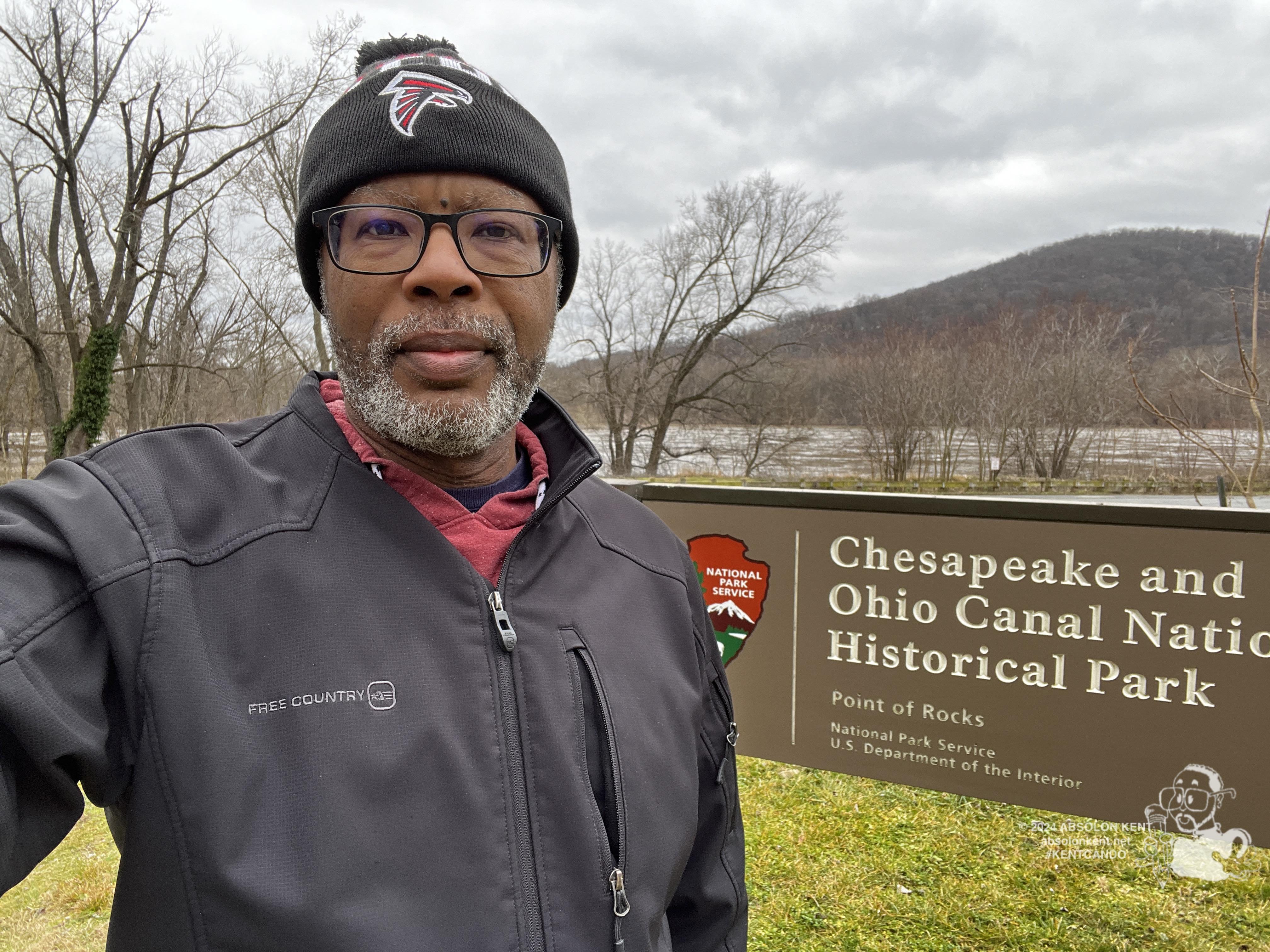
TUSCARORA and POINT OF ROCKS, Md. — Nolands Ferry was a well-established crossing on the Potomac River, even before the United States was a nation. The location connected a main north/south route for settlers that became known as the Carolina Road. Thomas Jefferson crossed the Potomac at this location on May 10, 1776, as he traveled to Philadelphia to sign the Declaration of Independence. It was a busy hub and the site of several Revolutionary War crossings by both the colonists and the British. The ferry site included a country store, wagon shop, shoemaker, tailor, and blacksmith shop, and the Licksville slave market was also located nearby. Today, the sandstone abutments of the bridge built to carry traffic over the Canal to the ferry in 1848 are still visible.
Located south of Frederick, Md., Point of Rocks has been a transportation crossroads for both the B&O Railroad and C&O Canal which both arrived in the mid-1800s. During the canal era of the mid-1800s to the early 1900s, Point of Rocks was a vibrant town with hotels, restaurants, mills, and stores. The canal terminated operations in 1924, leading to the decline of Point of Rocks. Today, the original village area is a park and a parking lot for railroad commuters.
📷: absolonkent.net/photogallery/index.php?/category/7
#TodaysAdventure #AmericasNationalParks #MyDMV #GetOutside #OutdoorAdventures #KENTCANDO #JustMe